Mockup. A sample website built by Noahlot for a real Northland business category. Not a live firm. Every name, number, credential and price below is invented.
Corelog.ASTM E1527-22 and E1903-19 · Missouri registered geologist RG-0000 · Clay, Clinton, Ray and Platte countiesScope a site
Subsurface due diligence
Nobody lends on a property until somebody has been under it.
Phase I assessment, Phase II drilling and Missouri closure, on properties between the Missouri River and the Iowa line. Read this page downward. It is a boring log, and it is also the order the work happens in.
18Business days for a standard Phase I, from signed scope to sealed report
341Sites logged since 2009, of which 62 went to Phase II
0Reports rejected by a lender for scope in the last six years
42.5Feet to refusal on the deepest boring we have run in Clinton County shale
Log
0.0Feet below grade
0.0 ft · Ground surface
The reason you are here is that a lender said no.
Almost nobody commissions an environmental assessment because they want one. A bank will not close on commercial ground, or an SBA lender will not fund the note, until somebody with a licence has looked at the property's history and signed their name to what they found.
That is a Phase I Environmental Site Assessment, and the standard it has to meet is ASTM E1527-22. Meeting it is what earns the buyer the Landowner Liability Protections under CERCLA, which is the actual product. A report that does not meet the standard does not protect anybody, and it is the reason the cheapest quote is sometimes worth nothing at all.
Standard Phase I, commercial parcel under 5 acres$2,850
Each additional contiguous parcel$650
Rush, delivered in 8 business days+$900
Report reliance letter for a second lender$350
2.5 ft · Fill
Most of the work happens in a records room, not on the site.
The top few feet of any developed lot are fill, brought in by somebody, from somewhere, for a reason nobody wrote down. The paper record is how you find out what that reason was.
Sanborn fire insurance maps, every published year1885–1970
Historical aerials and topographic sheets1938 onward
City directories, to name every occupantby decade
Federal and state regulatory databases, plus the radius search1 mile
Missouri DNR registered tank and spill recordsfull file
Interview with the owner, the operator and the local fire chiefon record
The site walk, with photographs of every stained slab and floor drainone day
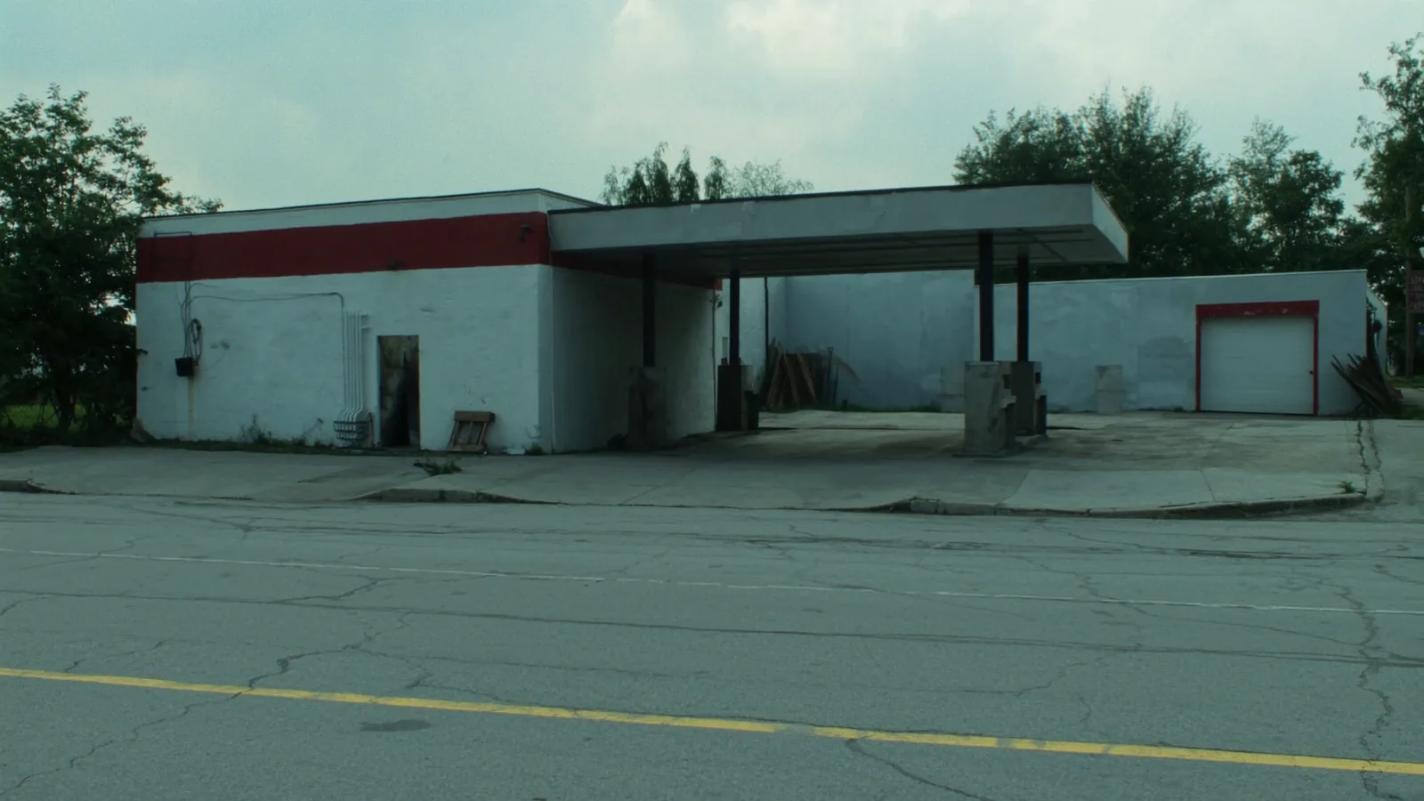
A corner like this one is the most common Phase I in this part of Missouri. Pumps pulled in the eighties, tanks sometimes pulled with them and sometimes not, and no closure report on file at the state.
8.0 ft · Lean clay, CL
A finding is not a problem. It is a question the paper cannot answer.
The word the standard uses is a Recognised Environmental Condition. It does not mean the ground is contaminated. It means there is a documented reason to believe a release may have happened, and nothing in the file rules it out.
Roughly one Phase I in five here turns one up. Almost always it is one of the same six things, and knowing which one it is tells you immediately whether this is a two week delay or a reason to walk away from the deal.
An underground storage tank with no closure reportmost common
A dry cleaner in the building, any year before 1995most serious
Floor drains in a repair bay going to an unknown outfallcommon
Agricultural chemical mixing and loading on the parcelrural sites
Fill of unknown origin brought in to level the lotcommon
An upgradient neighbour with an open state case filenot your act, still your problem
The dry cleaner problem, stated plainly
Perchloroethylene is denser than water. It does not float on the water table and drift, it sinks through it, and it keeps going until something stops it. That is why a dry cleaner that closed in 1988 two lots uphill can put a plume under a building that never handled a solvent, and why it is the one finding on this list that can genuinely end a transaction.
16.0 ft · Saturated sand
Phase II is where somebody finally drills.
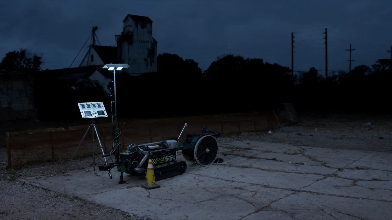
If the Phase I raises a condition, the only way past it is a sample. We push a direct-image probe on a track rig, which fits through a gate and does not need a road built to it, and we log continuously rather than at intervals so nothing thin gets missed.
Soil borings, continuously logged and photographed4 to 12 typical
Soil gas points, for solvent workas scoped
Temporary monitoring wells, screened across the water table3 minimum
Laboratory turnaround, Missouri certified10 business days
Typical all-in Phase II, small commercial parcel$9,400 to $22,000
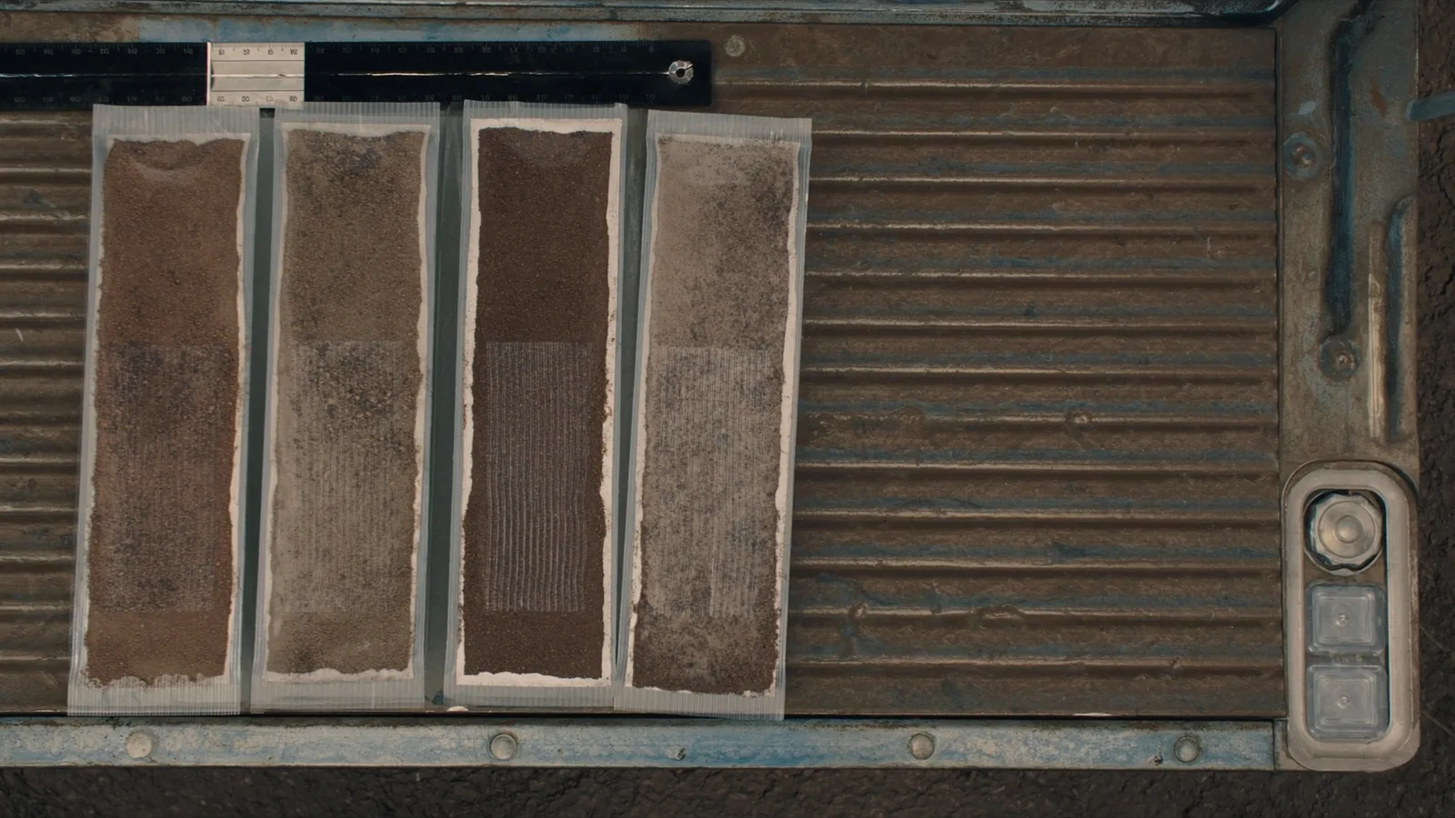
Four sleeves off one boring, laid out in the order they came up. The change from red brown clay to the paler grey below it is the whole reason the boring was drilled: above that line a release stays where it was spilled, and below it the water table carries it.
28.0 ft · Weathered shale
Closure is a letter from the state, not an opinion from us.
If sampling finds something, the objective stops being knowledge and becomes a document. In Missouri that document comes out of the Brownfields and Voluntary Cleanup Program, and it is the thing a lender, a title company and a future buyer will all ask for.
We write the work plan, run the remediation oversight, and take the file through to the No Further Action determination. What we will not do is tell you it is going to be quick. On a solvent site in this geology it is measured in years, and any consultant who says otherwise at the first meeting is selling you the meeting.
BVCP application and work plan$4,200
Tank removal oversight and closure report$3,800
Quarterly groundwater monitoring, per event$2,600
Typical petroleum site, application to No Further Action14 to 30 months
Typical solvent site, same measure4 to 11 years
42.5 ft
Refusal. That is the bottom of the hole, and the end of the report.
Send the address, the parcel number and the name of the lender asking for it. You get a fixed fee and a delivery date back the same day, or a straight answer that the site needs a scope conversation first, which is the honest reply about one site in six.